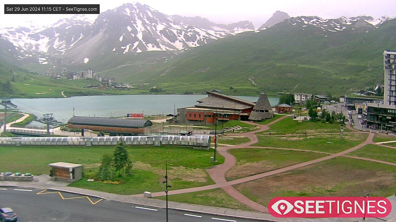
© SeeTignes.com

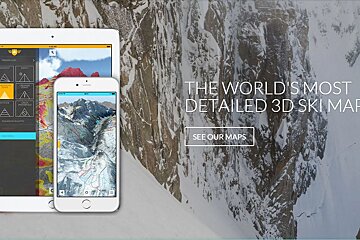
FATMAP launches in Tignes with End of Season Special Offer
New 3D mapping app for on and off piste in Tignes
You may have seen a new addition to our Maps Page a couple of weeks ago, a 3D map app that's just become available. It was due to launch earlier in the season, but is now available to use at the end of this season at a discounted price.
Here's their press release and some more information about what the app does:
The new ultra-high resolution 3D ski mapping app, FATMAP, has launched today in the popular resorts of Tignes and Val d’Isère with a special end of season offer - £2.99/€3,99 for the Piste version and £7.99/€9,99 for the Freeride version - for any map area.
FATMAP offers the world’s most detailed 3D ski maps available on a mobile or tablet and is revolutionising skiing and snowboarding by offering unique features never seen before in a ski map.
FATMAP’s new technology redefines navigation, as skiers and snowboarders experience the latest high resolution 3D models of the most popular European ski areas, with a grid resolution of just 2m. This unprecedented level of detail, and the ability to move around the 3D world from any angle and distance, transforms how users can plan a day out on the slopes, both on and off the piste.
FATMAP Founder, Misha Gopaul says of the recent map launch “We had lots of requests to bring FATMAP to Tignes and Val d’Isere. It has world-class pistes, some of the best off-piste skiing in the Alps and unbeatable slope-side hospitality. We’ve packed the release full of everything you need to know to make the most of the resort. And our Freeride version contains a comprehensive guide to all of the off-piste lines as well as the usual terrain intelligence and safety features.”
There are two versions of FATMAP depending on your passion; a PISTE version and a FREERIDE version.
FATMAP Piste is aimed at piste lovers and offers detailed piste mapping to help plan a day on the slopes. Skiers can find the best runs, top-rated restaurants and sunniest slopes – a perfect tool to make the most of the warmer spring ski season. In addition there are lift status and weather condition reports and a great location sharing feature which allows friends and families to stay connected and share their location in real-time whilst on the mountain. For those keen to record and share their experiences, FATMAP also allows users to record their tracks and stats and create their own unique 3D fly-throughs for sharing on social networks.
For off piste enthusiasts, there is the premium version FATMAP Freeride. Classic and established off-piste lines are all marked with detailed information about the route, steepness, length and difficulty. More adventurous skiers and boarders will be able to find new and hidden off-piste lines, previously hard to see on a traditional map thanks to the detailed mapping and snow covered imagery. Additional terrain intelligence information provides essential safety information regarding avalanche risk, crevasse zones, aspect and slope gradients so skiers can make better-informed decisions around ski safety.
To find out more visit their website. FATMAP is available to download on iOS and Android via the Apple & Google Play App Stores.

![a picture of a hotel suite at [itemref]](https://cdm0lfbn.cloudimg.io/v7/_images_base_/image_uploader/photos_e2/original/campanules-174-suite.jpg?ua=1579868018&p=carousel)