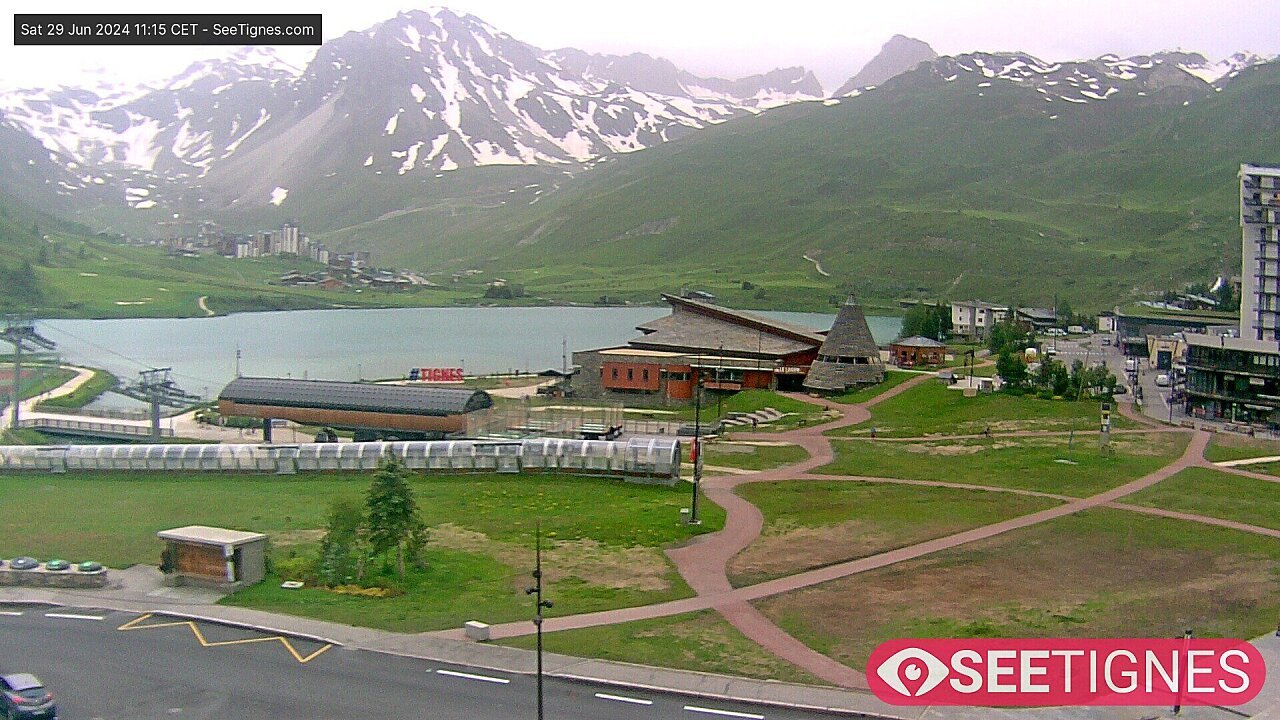
© Tignes

Maps of Tignes
Download the essential Tignes maps and plans
We hope this selection of piste and lift maps, street maps, and activity area maps for Tignes will help you find your way around so you can make the most of this great part of the world.
Tignes is made up of a number of small resorts at various altitudes - Tignes Les Boisses, Tignes Le Lac, Tignes Le Lavachet, Tignes Les Brevieres and Tignes Val Claret. Each village has its own local pistes and are connected to each other by the lift network and the public bus system.
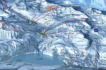
Piste maps
| Tignes Piste Maps |
|---|
| Espace Killy Tignes - Val d'Isere Piste Map |
| Espace Killy Interactive Piste Map |
| Tignes Snowpark & Freestyle Zone Map |
| Tignes Free Beginner Areas Lifts & Pistes Map |
Lifts marked on the piste map using straight black lines are of four types: button tow/drag lift, chairlift, télécabine and télephérique. They have the corresponding abbreviations:
- TK - téléski (drag lift)
- TS - télésiege (chairlift)
- TC - télécabine (gondola)
- TPH - téléphérique (cable car)
Anything prefixed/suffixed with “Express” means a six-person, fast chairlift.
Town maps
| Tignes Town Maps |
|---|
| Tignes Villages (all) Map |
| Tignes Interactive Resort Map |
Winter walking / trail maps
| Tignes Winter Walking & Nordic Trail Maps |
|---|
| Tignes Pedestrian & Nordic Trails Map |
| Tignes Beginner Ski Touring Trails Map |
| Tignes Villages Walking Map |
Hiking & walking maps
Mountain bike trail maps
| Tignes Mountain Biking Trail Maps |
|---|
| Espace Killy Mountain Bike Trail Map |
Summer skiing maps
| Tignes Summer Skiing Maps |
|---|
| Tignes Grand Motte Glacier Summer Skiing Piste Map |
| Val d'Isere Glacier du Pisaillas Summer Skiing Piste Map |
More inspiration...
| Tignes Activity Maps |
|---|
| Tignes Summer Activities Map |

![a picture of a hotel suite at [itemref]](https://cdm0lfbn.cloudimg.io/v7/_images_base_/image_uploader/photos_e2/original/campanules-174-suite.jpg?ua=1579868018&p=carousel)